
From Muff and Lough Foyle to Lifford and Strabane
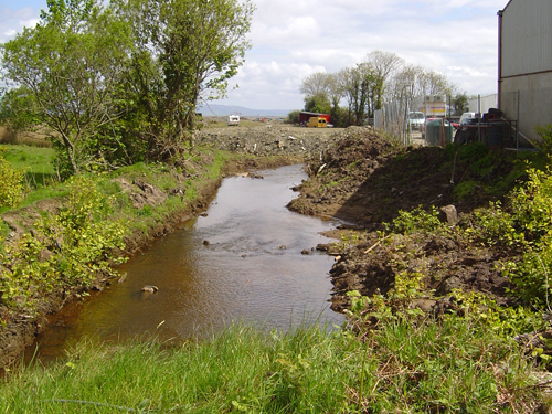
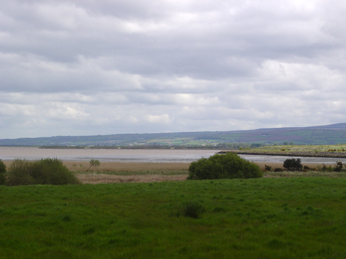
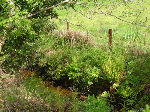
A little stream near the town of Muff in Co. Donegal, north-west of Derry/LondonDerry, marks the westerly starting point of the border between Ireland and Northern Ireland. Beginning where the stream meets Lough Foyle, the border here marks the division between Co. Donegal in Ireland and Co. Londonderry in Northern Ireland.
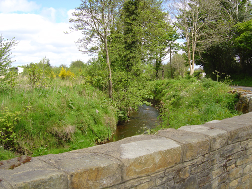
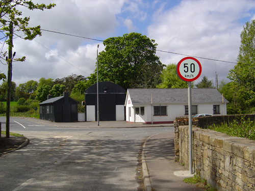
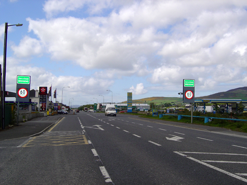
From this point the border follows the stream’s upstream course to Liberty Bridge, at the southern end of Muff. From here the border runs south-west along the stream before turning at a sharp right angle towards the north-west, turning again to run along another stream, to skirt around the hills north of Derry/Londonderry and then descending to cross the valley of the Skeoge River north-west of the city. The busy area of filling stations at Bridgend in Co. Donegal just across the border on the A2 road from Derry/ Londonderry to east Donegal marks the border at this point.
From here its line goes roughly south to the summit of Holywell Hill west of London/derry, descends, bisecting a small lake and following the downstream flow of Liberty Burn to Kildrum and Killea Bridge, before leaving the stream course to run south to the River Foyle at Drumnashear.
The border then follows the upstream route of the River Foyle south to where it separates the town of Lifford in Co. Donegal from the town of Strabane on the eastern side in Co. Tyrone.