
From Belleek to Blacklion, Belcoo, Ballyconnell and Clones
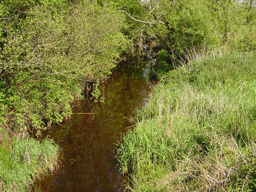


From Bradoge Bridge to the town of Blacklion, the border follows a watery course along the lines of rivers and streams and runs through the smaller and larger lakes of this region. At Bradoge Bridge it follows the line of a small stream gently uphill and then tracks another down to where it enters Lough Melvin at Abhornaleha Bridge. The straight line of the border here runs south-easterly to the point at which County River flows into Lough Melvin. Continuing in the south-easterly direction of the upstream course of the County River, the border runs along this river valley separating Co. Fermanagh and Co. Leitrim. Just east of the town of Kiltyclogher in Co. Leitrim the border crosses the two small lakes of Dean’s Lough and Lattone Lough to follow the downstream course of Black River to where it enters the head of Lough Macneen Upper.
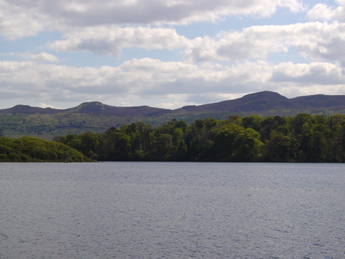
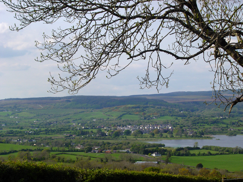
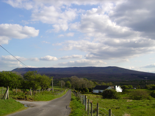
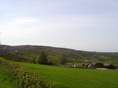
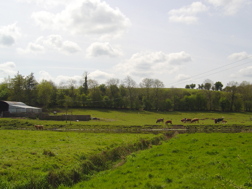
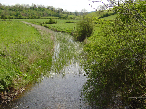
The line then runs roughly west-east across the lake to the mouth of Belcoo River, follows the river just west and north of the town of Blacklion and south of Belcoo into Lough Macneen Upper and then turns sharply southwards leaving this lake. From here the border runs southwards and steeply upwards to the ridge of the summit of the Cuilcagh Mountains, along that ridge easterly to its highest point and descends with the river that runs down the mountain’s eastern flank. Continuing east briefly just north of the town of Swanlinbar, the border then intermittently follows waterways south-eastwards to skirt the eastern flank of Slieve Rusden before descending to join Woodford River north-east of the town of Ballyconnell.
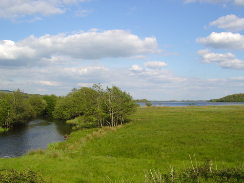
It then runs eastwards, then north-eastwards to take a sinuous but roughly easterly route though the many lakes and watercourses of the River Erne, north of the town of Belturbet in Co. Cavan. The River Finn marks the border briefly before it turns north and then curves round to run south again to enclose a portion of this gently hilly landscape in Co. Cavan, jutting north into Co. Fermanagh. From here the border again follows the line of a tributary of Finn River northwards to run west of the town of Clones.