
From Clones to Crossmaglen, Jonesborough and Carlingford Lough
At Clontaty Bridge north-west of Clones the border leaves the river and runs east, north and then west again through a series of smalls lakes, and crosses the road running north out of Clones three times. From Lackey Bridge which marks the border between Co. Fermanagh and Co. Cavan, the border again follows small streams and crosses lakes as it curves north-west and then north near the town of Roslea in Co. Fermanagh.
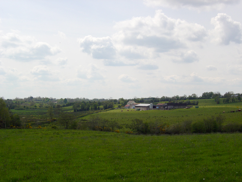
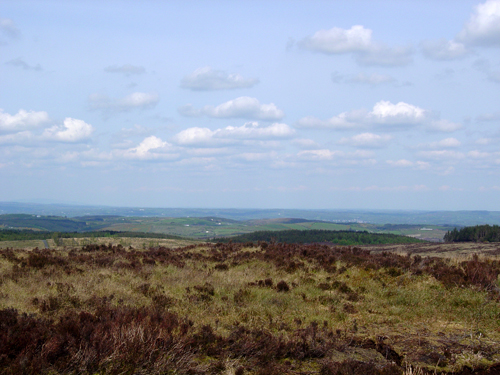
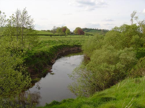
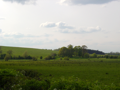
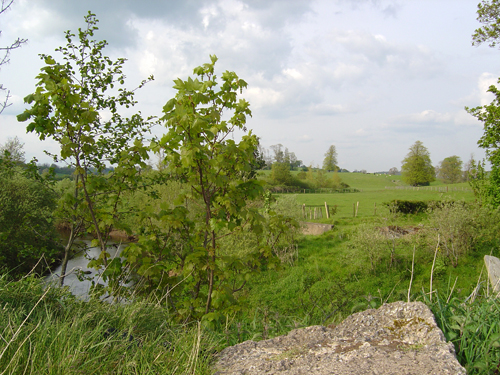
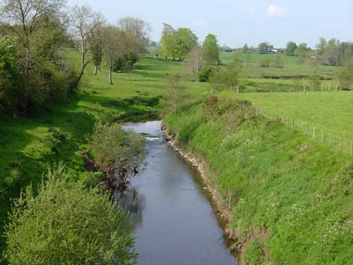
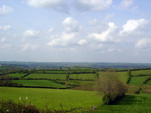
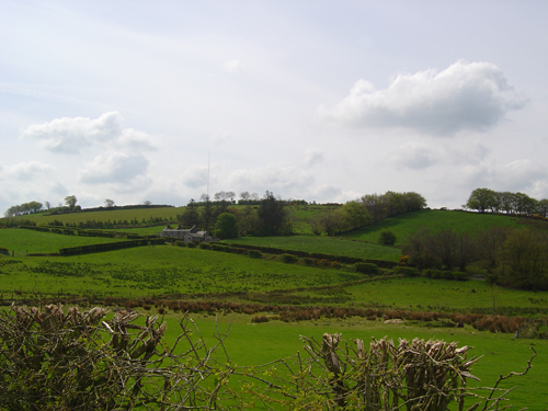
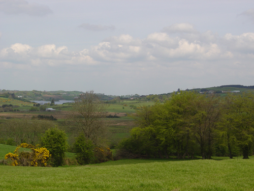
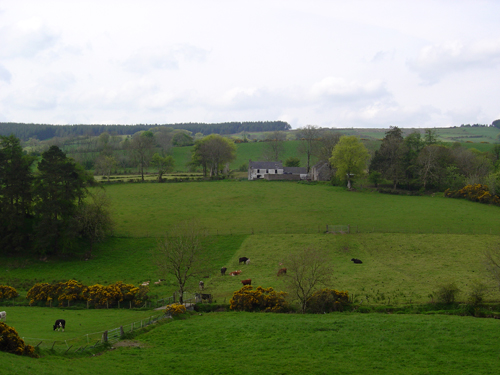
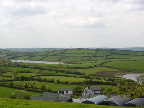
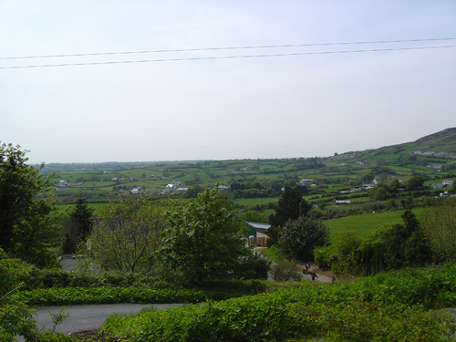
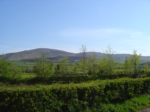
Here the border runs north for the most part following the route of the River Finn upstream through the forested foothills and then mountainous terrain of Slieve Breagh. From here it tracks north-easterly along downstream river courses and through mountain lakes to and across Lough More till it descends, west of the town of Aughnacloy, to meet the valley of the River Blackwater, its south-easterly winding course forming a long stretch of the border between Co. Monaghan and Co. Tyrone. Running cross-country briefly, the border then takes the line of the Cor River west of the town of Middleton as it winds southerly, until it leaves the river’s route and takes up the course of several mountain streams, running south-easterly round the lower reaches and uplands of south Co. Armagh.
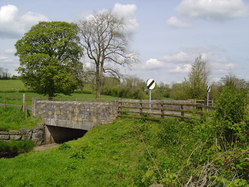
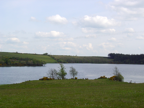
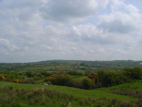
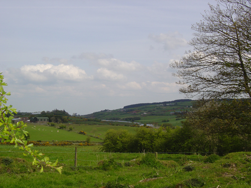
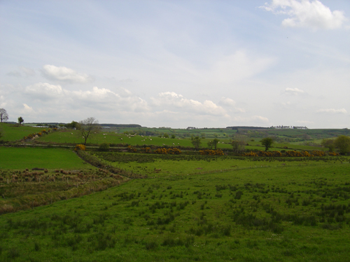
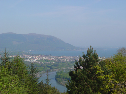
North of Mullyash Mountains the border follows another river course south along the downstream route of County Water and then via stream courses through a series of small lakes to Clarebane River where it enters Lough Ross west of the town of Crossmaglen. The River Fane forms the border between Co. Armagh and Co. Monaghan until the border turns to run north-easterly along the lowlands of south Co. Armagh and north Co. Louth, then northward to the east of the town of Jonesborough. From Flurry Bridge the border takes the course of Flurry River to curve round the foothills of the mountains of north Co. Louth, then rises up to the summit of Clermont Mountain before descending to County Bridge and entering Carlingford Lough via the mouth of Newry River.