
From Lifford and Strabane to Belleck
South of Lifford and Strabane the border runs south-west along the River Finn till just south of Clady Bridge to the west of Clady in Co. Tyrone. From here it turns sharply south towards Fern Hill, and turns direction again on the hill’s eastern flanks to run roughly westerly across the uplands north of Castlederg, then south-westerly to where it follows the course of the Mourne Beg River.
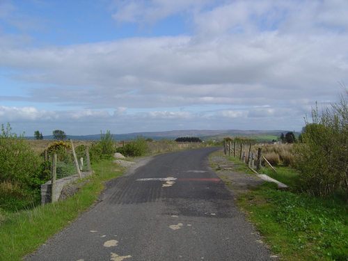
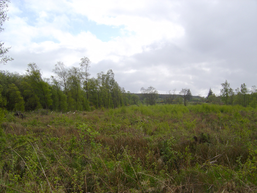
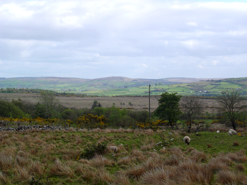
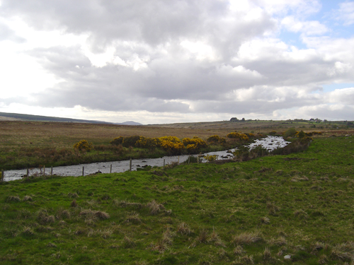
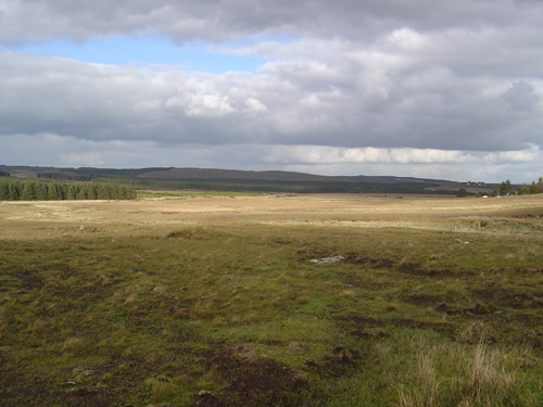
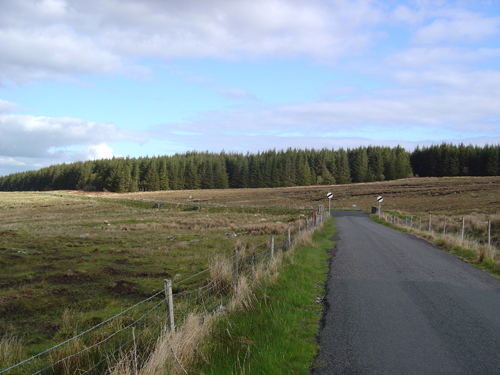
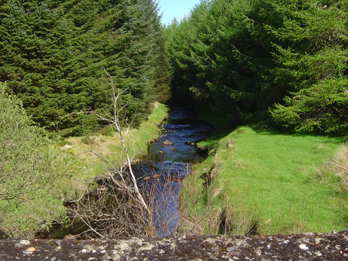
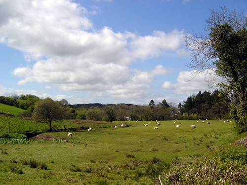
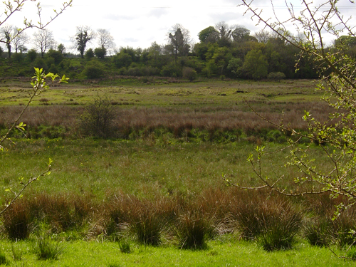
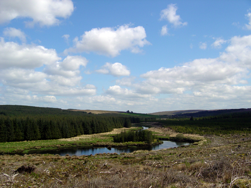
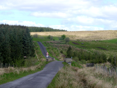
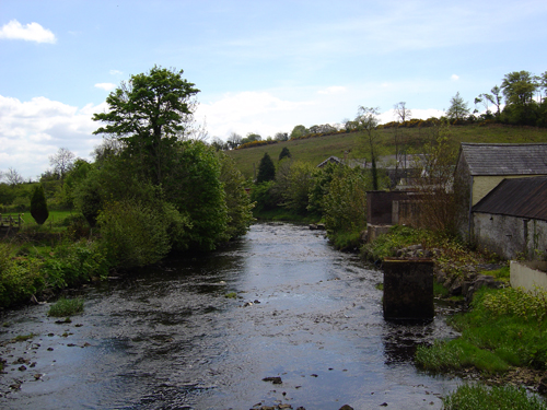
At Sturagave Bridge the line of the border leaves this river and runs roughly south along the lines of the Sruhangarve, Glendergan and Leaghany Rivers through heavily forested uplands till Carymouth where the River Derg enters Lough Derg. After following the River Derg upstream briefly, it then takes the course of Owenboy Burn westward before turning south-west again though the forested uplands of this region. This is one of the most remote and inaccessible borderland areas.
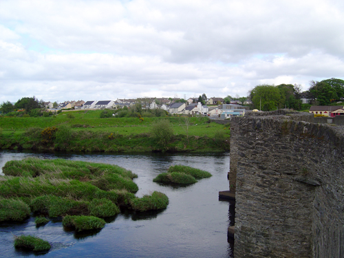
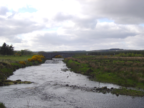
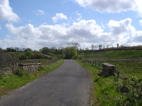
From here border descends and, except for some diversions, follows the course of the Termon River south-west to where it bisects the town of Pettigo.
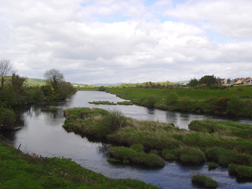
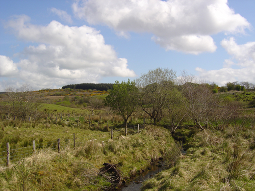
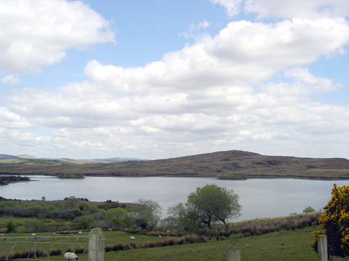
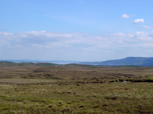
South of Pettigo the line of the border continues to follow the course of the Termon River till it reaches Lower Lough Erne. From here it turns westward, firstly along the course of the Waterfort River then cross-country and across Lough Awaddy, Lough Rusden and Lough Vearty and then south to Keenaghan Lough. From here it runs westward again to join the River Erne north of the town of Belleek on the western border of Co. Fermanagh. The most westerly point of the border is Bradoge Bridge, west of Belleek.